Description

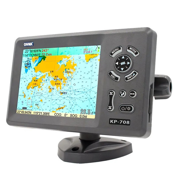
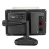
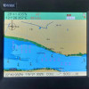
7in Navigation Chart Plotter Marine Navigator with Colorful LCD External GPS Antenna
Notice:For questions about charts and maps, please consult us before buying,don't support Navionics card.without probe and nautical letter.
Feature:
1. The 7-inch color LCD display, 800 x 600 pixels, gives you a good visual experience while driving.
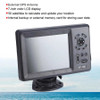
2. 50 parallel channel GPS receivers continuously track and use up to 50 satellites to calculate and update your location.
3. Compatible with C‑Map NT , you can download the relevant area map, external GPS antenna.
4. 30 route waypoints, up to 170 points per waypoint, and MOB and Track Navigation or Go Track mode.
5. 12,000 user waypoints with names and symbols. 3 system waypoints: MOB, start, cursor.
6. 10 adjacent waypoints. 8,000 automatic tracking logs; 10 saved tracks (up to 8000 track points per track) let you track paths in both directions.
7. Alarm XTE, anchor resistance, arrival, speed, voltage, approach waypoint and time, AIS alarm.
8. Tidal data, projected Mercator projection, position format latitude/longitude.
9. Onwa K‑Chart built into the basemap. Internal backup or external memory card for storing user data.
Specification:
Condition: Brand New
Item Type: GPS Chart Plotter
Color: Shown as Picture
Waterproof: IP67
Drawing Interval: 1s-9h or 0.01 nm-9.99nm
Plotting Range: 0.01nm-1,000nm
Navigation Data Input: $ – DBT, $ – DPT, $ – GGA, $ – GLL, $ – GSA, $ – GSV,
$ – HDG, $ – HDM, $ – HDT, $ – MTW, $ – RMB, $ – RMC,
$ –VTG,$ – ZDA,$ – VWR,$ – VWT,$ – MWD,$ – VPW
Output:
$ –AAM,$ – APB,$ – BOD,$ – BWC,$ – GGA,$ – GLL,
$ –RMB,$ – RMC,$ – VTG,$ – XTE,$ – ZDA,$ – DBT
$ –DPT,$ – WPL,$ – ZDL,$ – ZTG
Autopilot Output: $ –AAM, $ – APB, $ – BOD, $ – VTG, $ – DBT, $ – DPT
On/Off Perspective
Sunrise/Sunset, Moonrise/Monthly
Power Supply: 5 to 35VDC, Current Consumption 1.0A at 12V
Pixel: 800x600
Waterproof Display Unit: IPX6
Temperature Range Display Unit: -15°C-+ 55°C
Acquisition Time Cold Start: Average 27 Seconds
Warm Start: an Average of 27 Seconds
Hot Start: 1 Second on Average
Update Rate: 1 / Sec or 10 / Sec, Continuous
Accurate Position: 2.5 Meters (95%) Without S / A
Speed: 0.1 M / S (no S / A)
Time: ±100ns Synchronized with GPS Time
Dynamic Altitude: Up to 50,000m
Speed: 1640.42ft (500 M) / S
Acceleration: Up to 4g
Datum Wgs 84 and Others
Interface NMEA 0183 Input and Output, Rs232 Output
AIS Interface
Data Input: NMEA 0183, RS232
Baud Rate: 38,400
Language:Chinese ( traditional),Chinese ( Simplified),Thai, Vietnamese,Malaysian, German, French,Italian, Spanish, Swedish, Norwegian,Polish, Portuguese, Burmese, Finnish, Croatian, Greek, Danish,Arabic / Arabia,Indonesian, Russian, Turkish, Maldives
Package List:


